| |
Meteorological drones mainly measure the following meteorological data: temperature, air pressure, humidity, wind, true altitude, various images (data), cloud formation type and size, visibility, occurrence and size of turbulence, and ice accumulation.
Weather drones are required to fly in all kinds of bad weather, and data transmission systems and flight control systems may also be disturbed. In this case, the aircraft must maintain fast speeds and must accurately measure various meteorological data. Therefore, the system requirements for weather drones are high. In the low-flying measurements, the UAV loses contact with ground equipment, so the UAV must have an autonomous flight management system. Meteorological drones generally use navigation wind measurement, so an accurate navigation and positioning system is required. In addition, various measuring instruments are required to have low inertia, high accuracy, and good reliability.
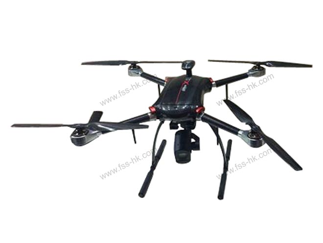
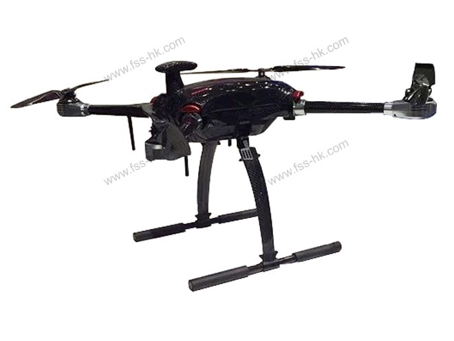
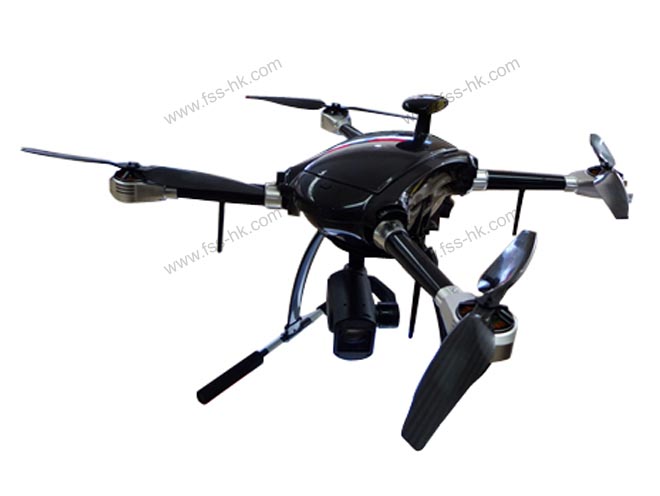
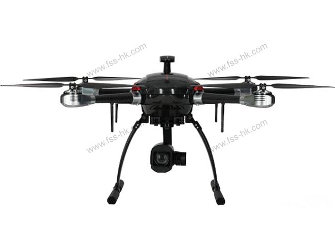
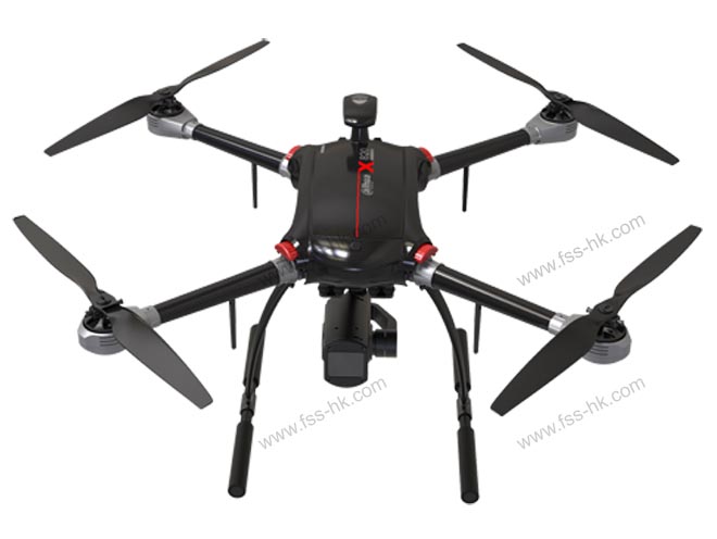
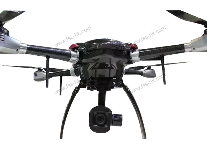
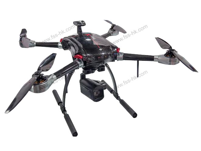
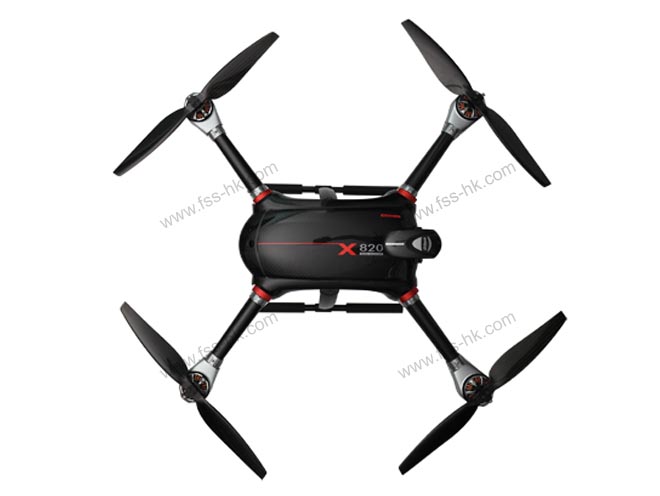
Products Demo Photo:

Technical Datas:
|
Flight platform
|
|
Structural characteristics
|
High-strength ultra-light carbon fiber machine, arm folding, tripod retractable
|
Wheelbase
|
820mm
|
|
Battery
|
22000mAh smart battery
|
flight durations
|
35 min
|
|
Flight altitude
|
5000m
|
Cruising speed
|
15m/s
|
|
Wind resistance
|
Level 7
|
Radius of Operations
|
10KM
|
|
Rack weight
|
3.3kg
|
Max take-off weight
|
10kg
|
|
Satellite positioning module
|
GPS, Beidou, GLONASS
|
Hover accuracy
|
Horizontal:±0.2m
Vertical:±0.5m(Relative accuracy)
|
|
Flight control
|
Fixed-point, fixed-point, autonomous cruise and other multi-attitude flight modes
|
One-button to take off, low voltage protection, automatic return
|
Preset no-fly zone, electronic fence
|
|
Aircraft loads
|
|
Parameters
|
2 million visible light
|
Gas detection
|
|
Sensor
|
1/2.8" CMOS
|
Four kinds of gas modules
|
|
Max resolution
|
1920(H)×1080(V)
|
Real-time display parameters
|
|
Lens
|
12x optical zoom/12x digital zoom lens
|
|
PTZ structure
|
3 axis PTZ
|
Remote transmission
|
|
Characteristic
|
Low light, autofocus
|
Including air temperature, humidity, etc.
|
|
Ground station system
|
|
Parameter
|
Integrated - Remote Control
|
Ground station (high allocation)
|
|
Thermal Structure
|
Display and control integrated design
|
Waterproof and dustproof IP65, keyboard waterproof
|
|
Display screen
|
7-inch capacitive touch screen, resolution 1024*600
|
13.1-inch touch screen, resolution 1024*768
|
|
Transmission distance
|
Manual remote control ≥5km
|
Map transmission distance 10km
|
|
Battery
|
7800mAh
|
8550mAh
|
|
Storage
|
Supports 128GB microSD card
|
500GB
|
|
Life time
|
≥5 hours
|
≥5 hours
|
|
Software interfaces
|
Real-time switching of video and map modes
|
|
Standard agreement
|
GB/T28181,Can be involved in various industry management platforms
|
|
|